2007 Vacation: Day 4 Summary
Day 4 Summary
Glendive, Montana to Billings, Montana
The fourth day of my 2007 vacation closely matched the fourth day of my 2006 vacation, so it’ll be best if I keep this entry short and provide a link to last year’s day 4 report.
One thing different about the trip from Glendive to Billings this year was that I found more pieces of the old U.S. Highway 10 to travel on. This kept me off of Interstate 94 and allowed me to see a few neat things, such as a couple historical markers near Terry. One marked the spot where the Powder River flows into the Yellowstone River, while another discussed the local region – its economy, geology, and history – and even contained a tiny pioneer cemetery where some unidentified remains are buried.
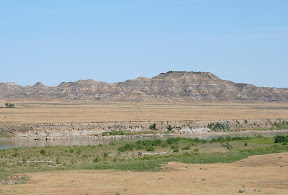
Both historical markers were set against the backdrop of the Terry Badlands – rocky, brown-colored hills that contrast nicely with the lushness of the Yellowstone River Valley, in which the interstate and small towns between Glendive and Billings are predominantly located. Though these badlands aren’t as impressive as their counterparts about 40 miles away near Glendive in Makoshika State Park, they are nevertheless neat to look at.
Near Tusler, or 8 miles northeast of Mile City, I found a nice recreation site next to the Yellowstone River. The site offered the opportunity to enjoy all sorts of activities, including fly fishing in the shallow river, picnicking at one of the nearby picnic tables, or walking down a paved path following a raging creek that flows into the river. You could even try your hand at hunting for the famed agates that line the Yellowstone River shore.
A couple of the largest remnants of old highway still intact are between Forsyth and Hysham and Custer and Huntley. Both stretches turned out to be very worthwhile to travel down. In fact, if you ask me, they are more scenic than the corresponding portions of interstate in the area. The old highway travels up and down hills lining the valley’s wall, while the interstate travels down primarily flat terrain.
I did see that Pompey’s Pillar National Monument near the town of the same name had changed a bit in the last year. The visitor’s center, which was still under construction last year, appeared to be all complete, and there was now an official entrance gate complete with a staffed ticket booth.
Other than that, not much had changed in the area, including the city of Billings. It was in that city that I spent the night.
Pictures:
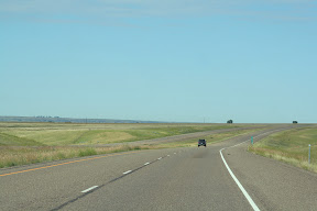
Interstate 94 southwest of Glendive
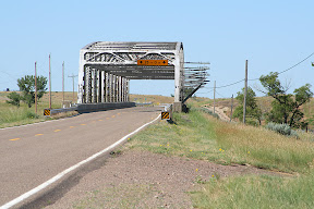
Along the old U.S. Highway 10 - this bridge crosses the Powder River, near the spot where it empties into the Yellowstone River
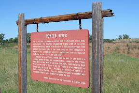
There's a marker near the confluence of the Powder and Yellowstone Rivers
The following eight pictures were taken near the historic site to the southwest of Terry
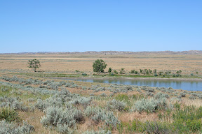
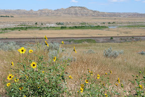
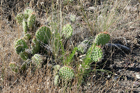
You don't usually associate cacti with Montana, but they do show up in some places in the eastern portion of the state
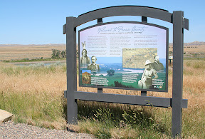
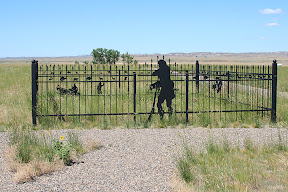
The pioneer cemetery where some unknown remains are located
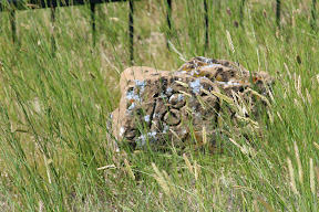
One of the gravestones - its only marking is the year 1878
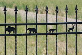
The design on the fence lining the cemetery shows the animals which were important to pioneers in the area
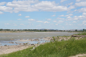
The Yellowstone River near the Tulser Recreation Site - notice the cattle standing in the water?
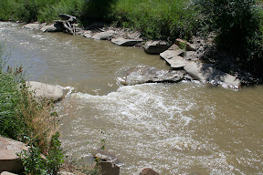
The creek at the Tusler Recreation Area
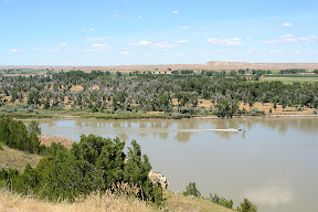
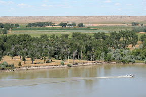
The following five pictures were taken near Hathaway from an Interstate 94 rest area that overlooks the Yellowstone River and its adjoining valley
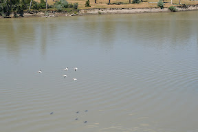
These pelicans were big enough, and flying low enough, to make shadows on the water below - it was a pretty neat effect
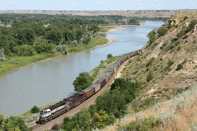
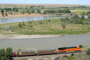
A westbound empty coal train curves of the Yellowstone River Valley
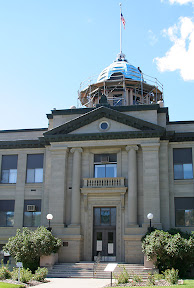
The Rosebud County courthouse in Forsyth is one of the biggest architectural masterpieces of eastern Montana - too bad it's hard to get a good picture of it and that the lighting was bad at the time I visited
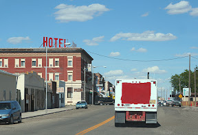
A little bit of downtown Forsyth
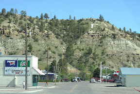
F is for Forsyth - almost all towns in this part of Montana have their first letter prominently displayed on a nearby hill
Videos:
The Terry Badlands
http://www.youtube.com/watch?v=-YUiPlXu0xM
Along the Yellowstone River near Tusler
http://www.youtube.com/watch?v=CklRo9kZZOI

Interstate 94 southwest of Glendive

Along the old U.S. Highway 10 - this bridge crosses the Powder River, near the spot where it empties into the Yellowstone River

There's a marker near the confluence of the Powder and Yellowstone Rivers
The following eight pictures were taken near the historic site to the southwest of Terry


You don't usually associate cacti with Montana, but they do show up in some places in the eastern portion of the state


The pioneer cemetery where some unknown remains are located

One of the gravestones - its only marking is the year 1878

The design on the fence lining the cemetery shows the animals which were important to pioneers in the area

The Yellowstone River near the Tulser Recreation Site - notice the cattle standing in the water?

The creek at the Tusler Recreation Area
The following five pictures were taken near Hathaway from an Interstate 94 rest area that overlooks the Yellowstone River and its adjoining valley


These pelicans were big enough, and flying low enough, to make shadows on the water below - it was a pretty neat effect

A westbound empty coal train curves of the Yellowstone River Valley


The Rosebud County courthouse in Forsyth is one of the biggest architectural masterpieces of eastern Montana - too bad it's hard to get a good picture of it and that the lighting was bad at the time I visited

A little bit of downtown Forsyth

F is for Forsyth - almost all towns in this part of Montana have their first letter prominently displayed on a nearby hill
Videos:
The Terry Badlands
http://www.youtube.com/watch?v=-YUiPlXu0xM
Along the Yellowstone River near Tusler
http://www.youtube.com/watch?v=CklRo9kZZOI
Labels: 2007 Vacation, Pictures


0 Comments:
Post a Comment
<< Home